Description
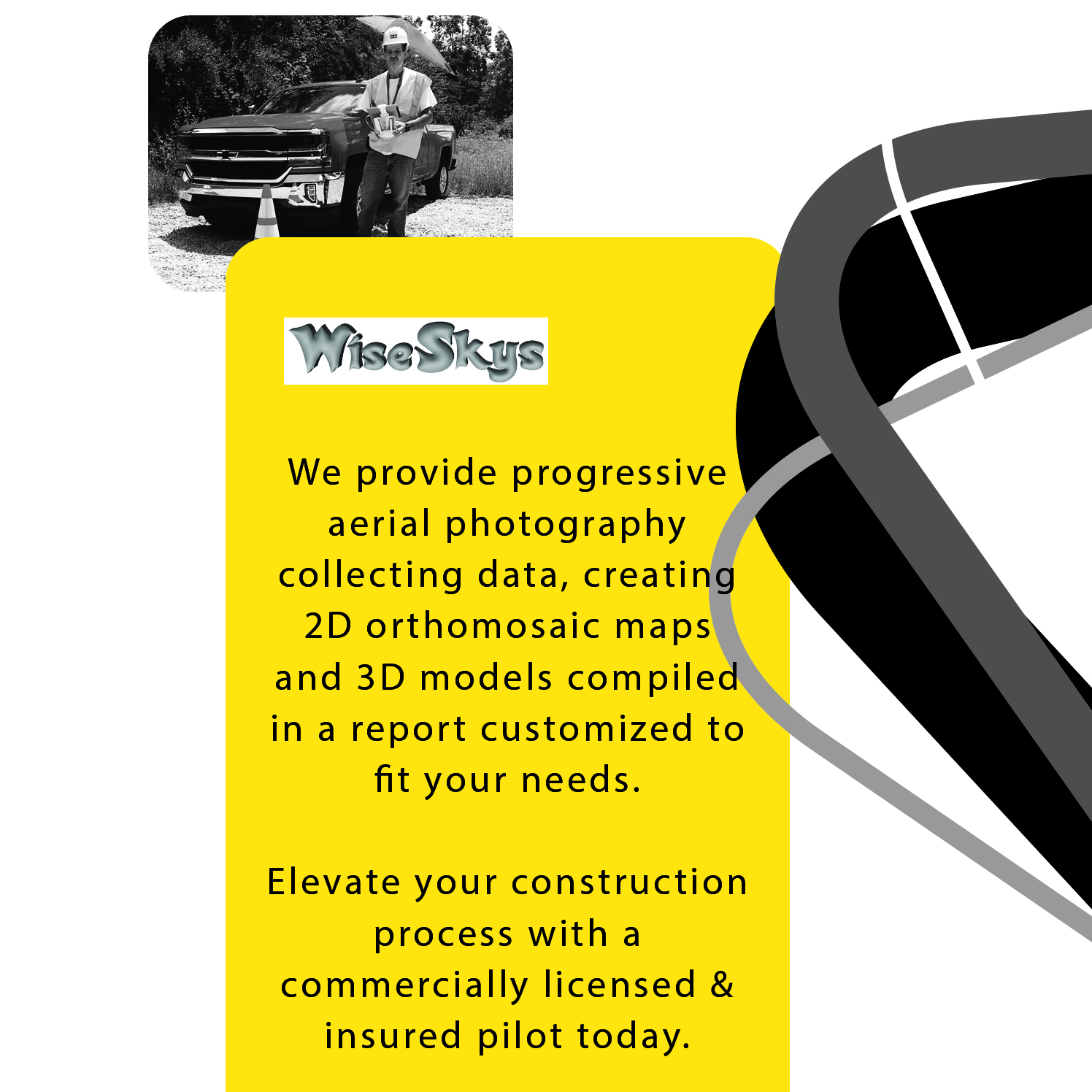
Thank you for the opportunity, we will provide incremental data collection flights based on your needs. One of our team pilots will coordinate with your project manager for any requirements and special requests prior to scheduled operations.
Package included services:
Flight planning
- Waivers & COA’s (Certificates of Authorization) submitted to the FAA
- Safety brief with crew & workers present during flight operations
- Main jobsite and points of interest walk-thru
Deliverables
- Aerial photos (5-10 images from cardinal directions at highest authorized elevation)
- Aerial video (1-3 minutes fly-over mission)
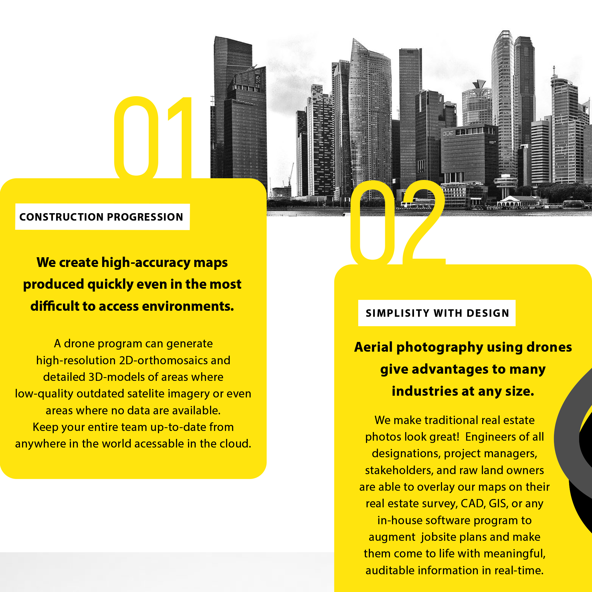
- 2D-Orthomosaic image of entire construction area
- Contour Map showing elevation change
- Optional DSM (Digital Surface Model) & 3D Object files
Related Information
- Latest QGIS release available https://qgis.org/en/site/forusers/download.html
- You may use these images for marketing materials and social media campaigns at no additional charge, please include (photo by Jeremy Yates – WiseSkys.com) when posting our images.


Reviews
There are no reviews yet.